DOWNLOADABLE
LAKE MAPS
ChartSelect™ is Humminbird’s digital map store. On ChartSelect, you can select, purchase and download individual High Definition LakeMaster lake maps and international coastal charts. Choose from over 1,800 lake maps, each with full Humminbird compatibility for all exclusive LakeMaster features, including Depth Highlight, Shallow Water Highlight and Water Level Offset.
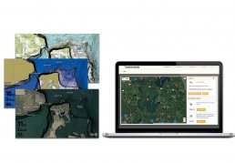
INTRODUCING CHARTSELECT MULTILAYER
ChartSelect Multilayer is an enhanced offering of lake map data for more than 1,800 lakes currently available from ChartSelect. Multiple map “layers” are available on most lakes, including: topography, aerial photography, and SmartStrike to name a few.
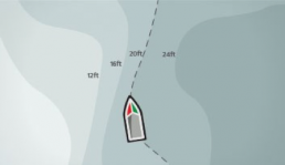
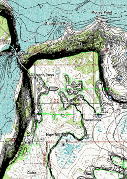
HD CONTOURS
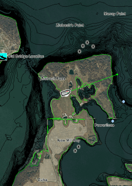
AERIAL VIEWS
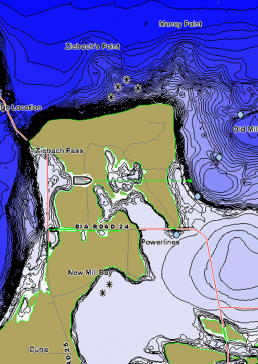
TOPOGRAPHY
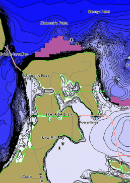
SMARTSTRIKE
ONLY THE LAKES YOU WANT
All you need to purchase a lake from ChartSelect is the FishSmart app and/or a SD card (32GB of space or greater).